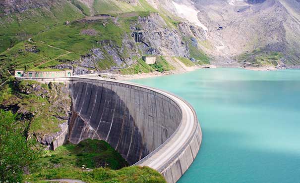
Drones equipped with thermal cameras can detect temperature variations on the dam’s surface. This can help identify potential leaks or seepage points that might not be visible in normal visual inspections. Capture geospatial data using techniques like LiDAR or photogrammetry, creating accurate 3D models of the dam structure. These models aid in identifying deformations, settling, and other structural changes over time.
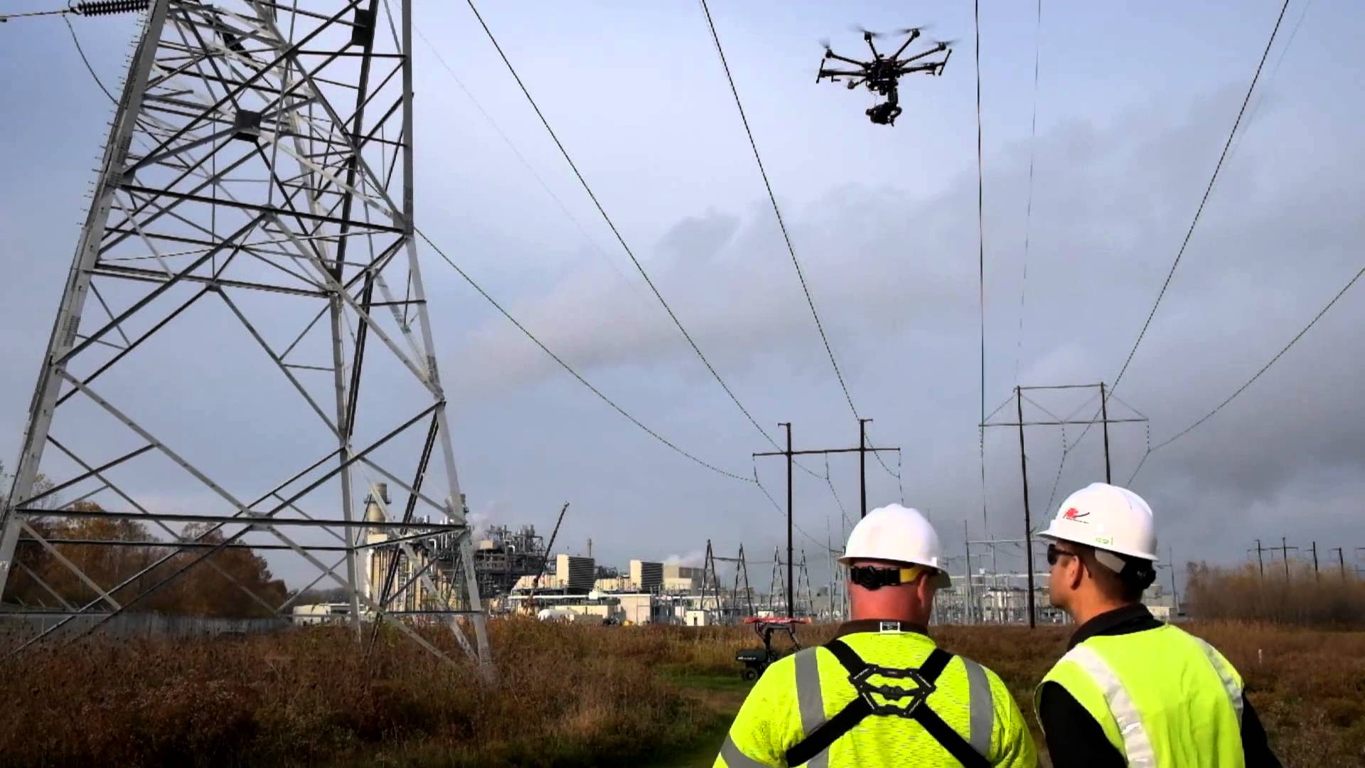
Inspect power lines and transmission towers, identifying issues like wear and tear or vegetation encroachment


Creating emergency response plans by providing accurate and up-to-date visual data for use in simulations and preparedness exercises. Provide reports on crack, seepage issues, including vegetation growth, erosion, and sediment buildup